Reading Your Well Drilling Log
Drilling a new water well is one of the most important investments you can make for your property in Southern California. With municipal water rates climbing every year and drought restrictions becoming more common, a private well gives you water independence. Here's what you need to know.
Well Drilling in Southern California
San Diego, Riverside, and San Bernardino counties have diverse geology that directly affects well drilling. From the granite formations in the mountain communities to the alluvial basins in the valleys, every location presents different challenges and opportunities.
- Mountain and backcountry areas (Julian, Ramona, Alpine, Descanso): Granite bedrock typically requires air rotary drilling. Wells often range 200–600+ feet deep. Yields vary from 1–20+ GPM.
- Valley areas (Valley Center, Escondido, Fallbrook): Mix of decomposed granite and alluvial soils. Wells typically 150–400 feet. Generally better yields.
- Desert areas (Borrego Springs, Anza, high desert): Deep alluvial basins can require 300–800+ foot wells. Water quality varies significantly.
- Coastal/urban fringe: Limited drilling opportunities due to lot sizes, setback requirements, and potential saltwater intrusion.
The Drilling Process
- Site evaluation: We assess your property, review geological data, check well logs from nearby properties, and determine the best drilling location considering setback requirements.
- Permitting: San Diego County requires a well permit before drilling. We handle the application through the Department of Environmental Health (DEH). Typical processing time: 2–6 weeks. Permit cost: $800–$1,500.
- Drilling: Our rig mobilizes to your property (requires access for a large truck). Drilling typically takes 1–5 days depending on depth and geology. We log the well as we go, noting water-bearing zones.
- Well completion: Steel casing is installed, grout is pumped around the casing for sanitary seal, and a well cap is placed on top. The well is developed (cleaned out) to maximize flow.
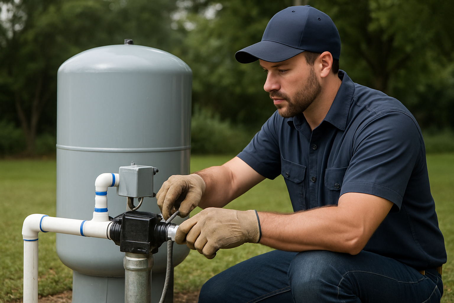
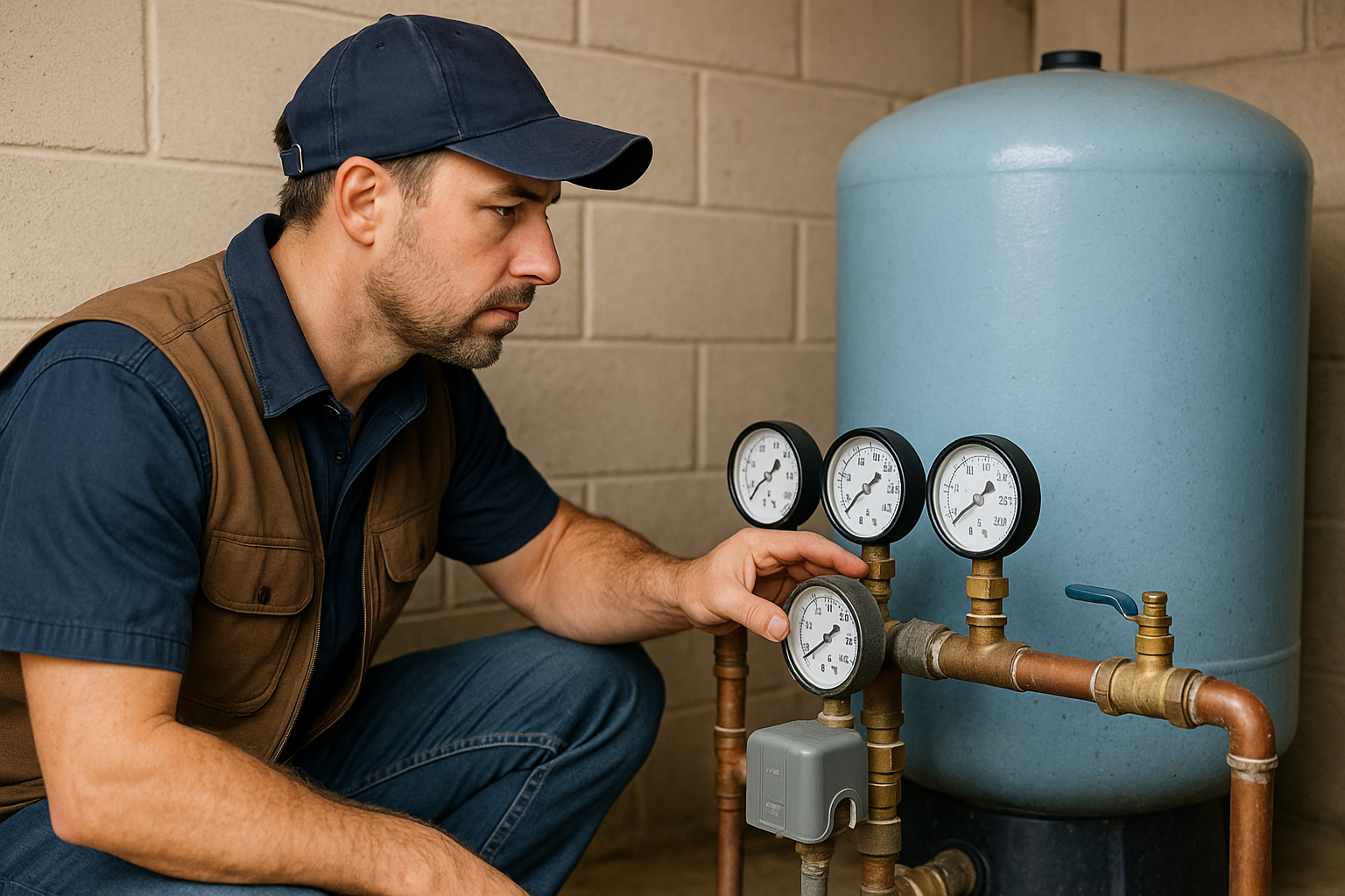
- Pump installation: A submersible pump, drop pipe, wiring, and pitless adapter are installed. The pressure tank and controls are set up.
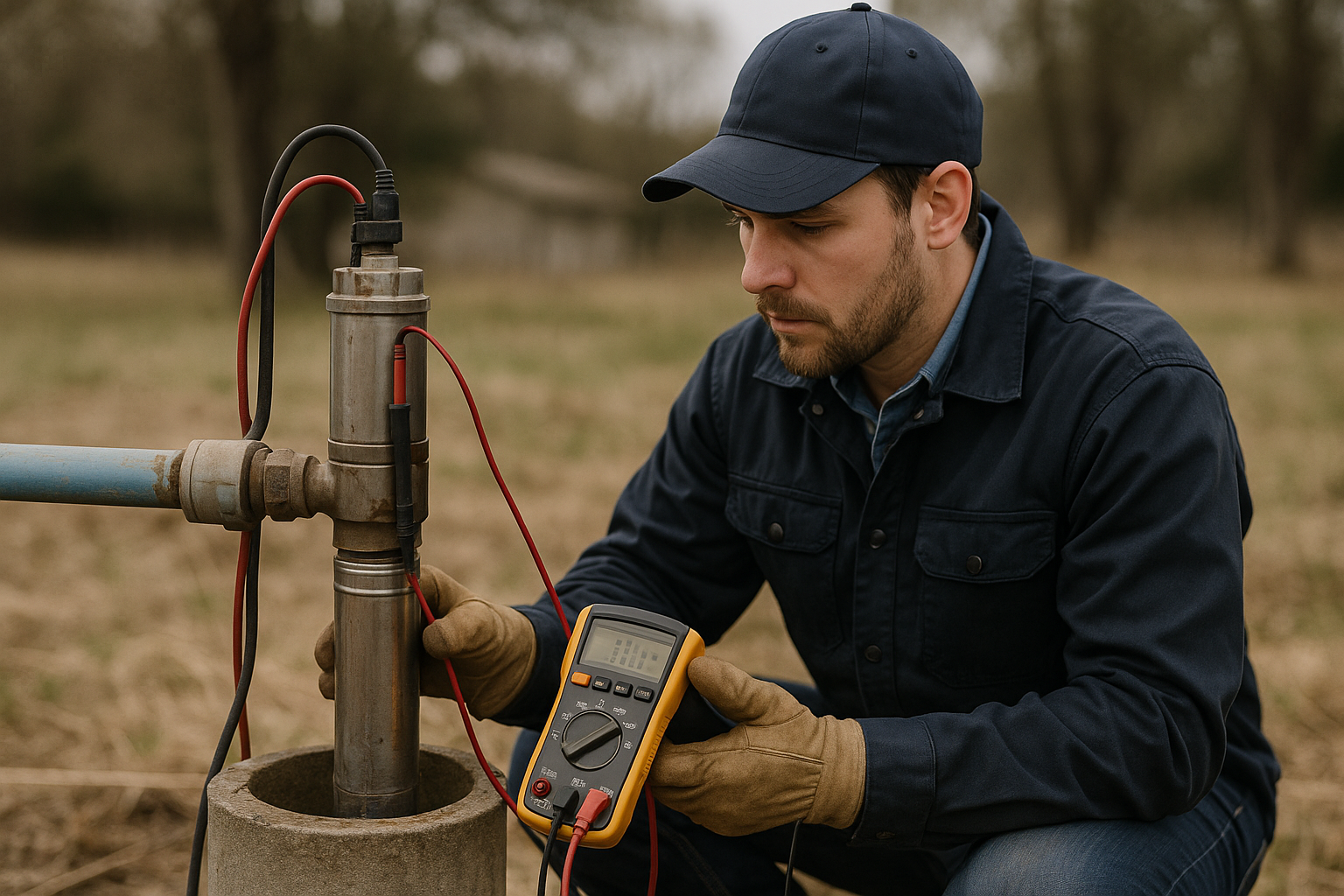
- Water testing: A flow test determines your well's sustainable yield, and water quality samples are sent to a certified lab.
Drilling Costs in San Diego County
Well drilling costs vary by location and conditions, but here are typical ranges for 2026:
- Drilling: $35–$65 per foot (depth-dependent pricing)
- Well casing (steel): Included in per-foot cost or $15–$25/foot additional
- Pump and equipment: $3,000–$8,000 depending on depth and pump size
- Permit and testing: $1,000–$2,000
- Typical total for a 300-foot well: $15,000–$25,000 complete
- Typical total for a 500-foot well: $25,000–$40,000 complete
Choosing a Well Driller
California requires a C-57 Well Drilling license for anyone drilling or modifying water wells. Always verify your contractor's license at the CSLB website. Red flags include:
- No C-57 license (some contractors try with just a general engineering license)
- Guaranteeing a specific depth or flow rate before drilling
- Not pulling a permit (this creates major problems if you ever sell)
- Asking for full payment upfront
SCWS holds CSLB License #1086994 with a C-57 Water Well Drilling classification. We've been drilling wells in San Diego County for over 30 years.
Need Professional Help?
SCWS has 30+ years of experience serving San Diego, Riverside, and San Bernardino counties. Licensed C-57 contractor (CSLB #1086994).
Call (760) 440-8520