Understanding Your Well Log: A Homeowner's Guide to Well Completion Reports
Your well log is your water system's birth certificate—a detailed record of everything encountered during drilling and the final construction details. Whether you're buying property, troubleshooting problems, or planning improvements, this document holds critical information. Here's how to read and use it effectively.
📋 In This Guide
- What Is a Well Log (Well Completion Report)?
- How to Find Your Well Log in California
- Decoding the Well Log: Section by Section
- Using Your Well Log: Practical Applications
- Common Well Log Abbreviations and Terms
- Limitations of Well Logs
- Frequently Asked Questions
- Get Expert Help Interpreting Your Well Log
What Is a Well Log (Well Completion Report)?
In California, licensed drillers must file a Well Completion Report (sometimes called a driller's log or well log) with the Department of Water Resources within 60 days of finishing a well. This public document includes:
- Well location: Coordinates, address, and property information
- Construction details: Depth, casing type and size, seal materials
- Geological log: Formations encountered at each depth
- Water zones: Depths where water was found
- Performance data: Static water level, pumping level, yield estimates
- Equipment: Pump type, horsepower, placement depth
- Contractor information: Driller license, company, date completed
These reports are permanent public records accessible to current and future property owners, researchers, and water agencies.
How to Find Your Well Log in California
Online Well Completion Report Database
The easiest method is California DWR's Online System for Well Completion Reports (OSWCR):
- Visit: https://data.cnra.ca.gov/dataset/well-completion-reports
- Search by county, address, or coordinates
- View PDF scans of original paper reports
Reports are available for wells drilled from the 1970s onward (earlier in some counties). Very old wells may have limited or no documentation.
County Environmental Health Departments
Many counties maintain their own well permit and construction databases. Contact your county for records, especially for very recent or very old wells not yet in the state system.
Property Documents
Well logs are sometimes included in real estate closing documents. Check your property file or ask previous owners.
No Log Found?
Wells drilled before reporting requirements, unpermitted wells, or those with lost paperwork may have no official log. You can:
- Search nearby wells (within 1/4 mile) for similar geology
- Have a contractor perform downhole camera inspection
- Measure your own basic parameters (depth, static level)
- Request county records for property permit history
Decoding the Well Log: Section by Section
Well Identification Information
State Well Number: Unique identifier assigned by DWR. Use this for searching records and referencing your well.
County Well Number: Local permit/identification number.
Location: Legal description (Section, Township, Range) plus street address. Verify this matches your property.
Coordinates: Latitude/longitude, typically to the nearest second. Accuracy varies on older logs.
Well Construction Specifications
Total Depth: Final drilled depth from ground surface to bottom. California residential wells range from 100 feet (shallow coastal) to 1,000+ feet (deep desert/mountain).
Casing Diameter: Inside diameter of the well casing, typically:
- 6 inches: Common for residential wells, adequate for most homes
- 8 inches: Higher yield wells or easier pump service access
- 10+ inches: Agricultural or high-demand wells
Casing Depth: How deep the casing extends. Should reach below the deepest water-bearing zone in unconsolidated formations or into bedrock in fractured rock aquifers.
Casing Material:
- Steel: Older wells, very durable but can corrode over decades
- PVC (Schedule 40 or 80): Modern standard, corrosion-resistant
- Fiberglass: Less common, used in corrosive water conditions
Perforations/Screens: Sections of casing with openings allowing water entry. The log should note depth ranges, type (slotted, perforated, screened), and slot size. These should correspond to water-bearing zones.
Annular Seal (Grout): Cement or bentonite seal around the outside of the casing preventing surface contamination from flowing down to the aquifer. California requires sealing the top 20+ feet minimum, often more. The log specifies:
- Seal material (neat cement, sand-cement, bentonite)
- Depth interval sealed
- Method (pressure grouted, gravity filled)
Inadequate sealing is a major contamination risk and code violation.
Geological Formation Log
This section describes materials encountered at each depth interval. Abbreviations and terminology vary, but common entries include:
Surface materials (0-50 feet typical):
- Topsoil: Organic surface layer
- Clay/Adobe: Fine-grained, low permeability
- Sand/Sandy clay: Mixed, moderate permeability
- Gravel/Decomposed granite (DG): Coarser, better water movement
Sedimentary formations (common in valleys):
- Alluvium: Mixed unconsolidated sediments
- Sandstone: Consolidated sand, can be productive
- Siltstone/Shale: Fine-grained, usually low yield
- Conglomerate: Cemented gravel, variable productivity
Bedrock (mountains and older geology):
- Granite: Hard crystalline rock, water in fractures
- Gneiss/Schist: Metamorphic rocks, foliated
- Basalt: Volcanic rock, fractures and vesicles
Why geology matters:
- Coarse materials (sand, gravel): High permeability, good yield potential
- Fine materials (clay, silt): Poor permeability, low yield
- Fractured rock: Water in cracks—yield depends on fracture density
- Mixed layers: Water zones sandwiched between confining layers
Water Level Information
Static Water Level: Depth from ground surface to water when the well is not pumping, measured after allowing time to stabilize (usually 24+ hours). Example: "Static level 180 feet" means water stands 180 feet below ground.
Pumping Level (Drawdown Level): Water level while pumping during testing. Example: "Static 180 ft, pumping level 220 ft" means 40 feet of drawdown.
What's normal:
- Shallow static levels (50-150 ft): Common in valleys, coastal areas—easier to pump
- Deep static levels (200-500+ ft): Common in mountains, deserts—higher pumping costs
- Drawdown: 10-50 feet typical during testing, more in low-yield wells
Seasonal variation: Static levels drop during drought summers and rise after wet winters. Your log shows one point in time—expect 10-50 foot seasonal variation in many areas.
Water-Bearing Zones
The log notes depths where water was encountered during drilling:
Example entries:
- "First water 165 feet"—initial water strike
- "Water bearing sand 220-240 feet"—20-foot productive zone
- "Fracture zone 380-385 feet, good flow"—bedrock fractures
Multiple zones: Wells often penetrate several water-bearing layers. Deeper zones tend to be more reliable but require more energy to pump.
Dry zones: Non-productive intervals between water zones. These might be clay layers or unfractured rock.
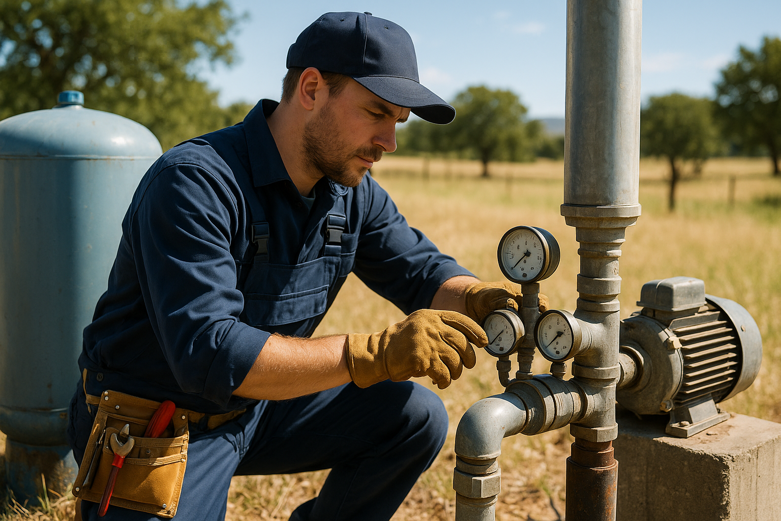
Yield and Performance Data
Estimated Yield: Driller's estimate of flow rate in gallons per minute (GPM). This is typically from a short test during or after drilling—not a certified long-term yield.
Typical ranges:
- Low yield: 1-3 GPM (marginal for residential)
- Adequate: 4-8 GPM (most homes comfortable)
- Good: 10-20 GPM (excellent residential, light ag)
- High yield: 25+ GPM (agricultural, commercial)
Pumping test details: Some logs include duration of test (e.g., "4-hour pumping test at 10 GPM, drawdown stabilized at 45 feet"). Longer tests are more reliable indicators.
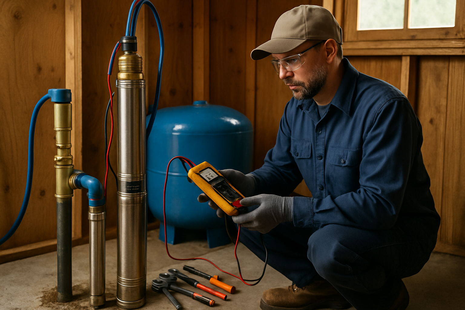
Pump Installation Details
If a pump was installed as part of original construction:
- Pump type: Submersible (most common), turbine, jet
- Horsepower: Typically 1-3 HP residential
- Setting depth: How deep pump sits (should be well below static level)
- Bowl assembly depth: (for turbine pumps)
Older logs may omit pump details if installed separately. Current pumps may differ from original.
Using Your Well Log: Practical Applications
For Troubleshooting Problems
Declining water pressure or flow:
- Compare current static level to log—has it dropped significantly?
- Check if pump depth on log is adequate for current water level
- Review perforated zones—could they be plugged?
Water quality changes:
- Identify shallow zones that might be pulling surface contamination
- Check seal depth—inadequate sealing allows contamination
- Compare to neighbors' wells for regional issues vs. well-specific problems
For Planning Repairs or Upgrades
Pump replacement: Total depth and casing diameter from the log determine compatible pump models and maximum HP.
Well deepening: Review geology below current depth. If similar productive formations exist deeper, deepening may improve yield.
Well rehabilitation: Knowing perforated zones helps target cleaning and treatment to restore capacity.
For Property Evaluation (Buyers)
Compare the well log to your needs:
- Is estimated yield adequate for planned use?
- How does it compare to neighboring wells?
- Is construction quality good (proper sealing, casing depth)?
- How old is the well? (Expect maintenance needs after 30-40 years)
- Are there multiple productive zones for reliability?
For Planning New Wells
Search well logs within 1/4 to 1/2 mile of your property to estimate:
- Depth to water: Plan drilling depth and pump requirements
- Productive zones: Target formations to drill through
- Expected yield: Realistic capacity estimates
- Geological challenges: Hard rock, unstable formations, etc.
- Typical construction: Casing depths, seal methods, costs
Regional geology varies—a few hundred yards can mean significant differences in depth and productivity.
Common Well Log Abbreviations and Terms
- TWD/TD: Total Well Depth / Total Depth
- SWL: Static Water Level
- PWL: Pumping Water Level
- GPM: Gallons Per Minute (flow rate)
- DG: Decomposed Granite
- GR: Gravel
- CL: Clay
- SS: Sandstone
- WB: Water Bearing
- DD: Drawdown
- OD/ID: Outer Diameter / Inner Diameter
- PVC Sch 40/80: PVC Schedule 40 or 80 (wall thickness)
Limitations of Well Logs
Well logs are valuable but not perfect:
- Point-in-time data: Water levels and yields change with season and drought
- Estimated yields: Often based on short tests, not long-term production
- Driller variation: Different drillers describe geology differently
- Incomplete information: Older logs may omit details like seal depth or perforations
- Accuracy: Depths, especially on older hand-written logs, may have errors
- Doesn't show condition: A log from 1975 doesn't tell you current casing integrity or pump condition
Frequently Asked Questions
Where can I find my well log in California?
California well logs are available through the Department of Water Resources (DWR) Online System for Well Completion Reports (OSWCR). Search by address, county, or well registration number. Some counties also maintain their own databases. Logs are public record for wells drilled since the 1970s.
What is the most important information on a well log?
Key information includes: total depth, casing depth and diameter, static water level, estimated yield (flow rate), perforated zones where water enters, geological formations encountered, and date of construction. These tell you your well's capacity and condition.
How do I know if my well is deep enough?
Compare your well log to neighbors' wells in the area. Your well should penetrate productive aquifers to similar or greater depth. If neighboring wells are 100+ feet deeper and have better yields, your well may be shallow. Static water level should be well below the pump intake with room for drawdown.
Can I use old well logs to plan a new well?
Yes. Historical well logs from your area show depth to water, productive zones, geological formations, and typical yields. This helps estimate costs and feasibility. Search for wells within 1/4 mile of your property for best accuracy. Geology can vary significantly over short distances.
What does it mean if my well log shows multiple water-bearing zones?
Multiple water-bearing zones indicate several aquifers at different depths. This is typically positive—if one zone declines, others may continue producing. The deepest productive zones are usually most reliable during droughts. Your casing perforations should target the best zones.
Get Expert Help Interpreting Your Well Log
Well logs contain valuable information, but professional interpretation ensures you're making the right decisions. Southern California Well Service can review your well log, compare it to current conditions, and recommend any needed improvements.
Need Help Understanding Your Well?
See our well log review services.
Call us today at (760) 440-8520
Serving San Diego, Riverside, Imperial, and San Bernardino Counties
Related Articles
Continue learning about well maintenance and troubleshooting